Shop
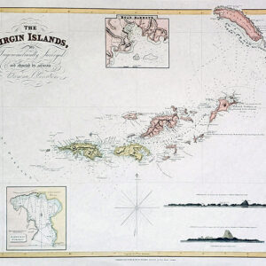
Virgin and Antilles Islands
$35
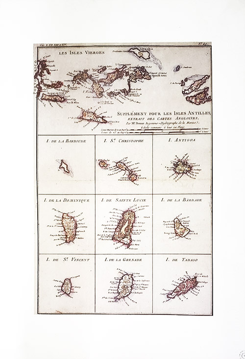
Caribbean Map
Cartographer Rigobert Bonne
Supplement pour Les Isles Antilles
Originally created in 1780 for G. Raynal’s French Atlas. Presents 10 maps on the page, all based on English nautical maps of the period.
Image size: 9 3/4″ x 14 1/4″
Paper size: 13 3/4″ x 19.5”
$15.00 shipping
Shipping is for the United States only.
For international, please email or call us to arrange method.
